
GPS-based object location system
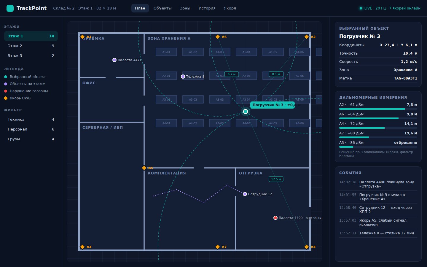
A real-time object tracking service that calculates coordinates on a map
About the project
The client needed a system for tracking the location of objects. Signal data was reaching the server, but there was no tool to process it correctly and turn it into a clear point on a map. In effect, there was raw telemetry with no convenient way to use it.
Tech stack
Task
Develop a system that receives signal levels, processes them and determines the object’s coordinates, displaying them on a map. It was important to ensure stable calculations and a convenient interface for tracking movement.
Constraints
There are no ready-made testing methods for positioning systems: accuracy depends on signal quality, interference and surroundings. We had to guarantee stable results in real conditions, not just on test data.
Solution
We built a system with a Python backend that receives signal data and calculates coordinates. The React frontend lets users track an object’s position in real time and work with the map. We used Kotlin to communicate with devices, which established a stable data flow from the source to the interface.
Challenges and how we solved them
We developed our own accuracy verification method: signal simulation plus series of checks on real data. We calibrated the processing algorithms iteratively, comparing calculated coordinates with expected ones and adjusting the calculation until the result was stable.
Further development
The architecture allows the system to grow without reworking the core: improving positioning accuracy, adding movement analytics and new use cases.
Result
We built a system that reliably determines the location of objects and displays them on a map. The data became clear and usable, and the tracking process became transparent.